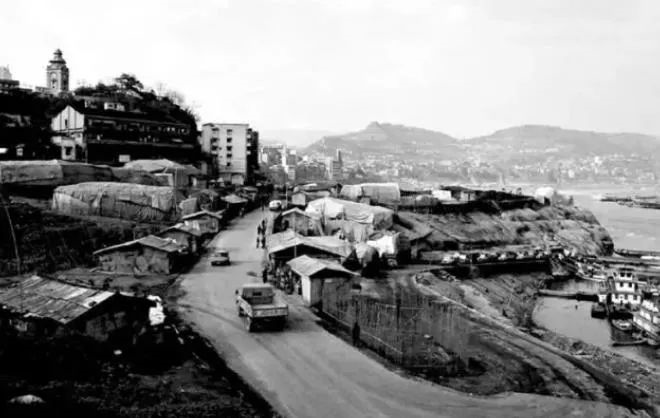
The city proper sits on the banks of the Yangtze River, interlaced with crisscrossing streams and tributaries. Among them, the Zhuxi Stream flows from west to east through the heart of the city, dividing it into the Eastern and Western districts.
During the Qing Dynasty and the Republican Era, local philanthropists and public-minded citizens initiated and raised funds for the construction of bridges to improve urban connectivity. As a result, six bridges of various sizes were built across the Zhuxi Stream, two over the Zhifang Stream, and one spanning the Taiping Stream.
These efforts transformed inner-city transportation, enabling smooth passage in all directions.
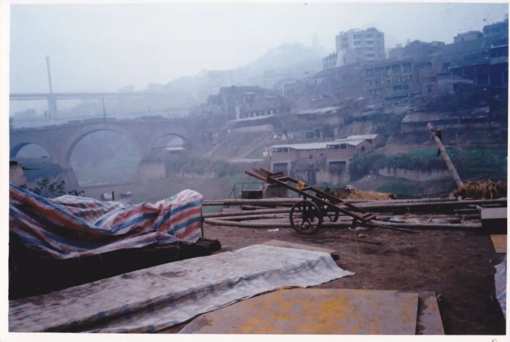
Wanzhou Bridge was located approximately 100 meters northwest of Tiansheng Bridge over the Zhuxi Stream.
In the 9th year of the Tongzhi reign during the Qing Dynasty (1870), local residents Wang Wenxuan, Yu Maolin, and Chen Shouling initiated and funded the construction of the bridge.
The bridge measured 40 meters in length, 9 meters in width, and 19 meters in height. It was built with a semicircular arch using local materials on-site, featuring a distinctive and elegant architectural design. It was once one of the largest single-span stone arch bridges in the former Wanxian City.
In the 19th year of the Guangxu reign (1893), six cornered pavilions with overhanging eaves were added to the bridge to provide shelter and rest for passing pedestrians, making the structure even more magnificent and picturesque.
In the early years following the founding of the People’s Republic of China, the pavilions were dismantled due to age and disrepair, as they had become structurally unsafe.
On May 29, 1970, the bridge was completely destroyed—along with its foundations—by a sudden mountain flood in the Zhuxi Stream.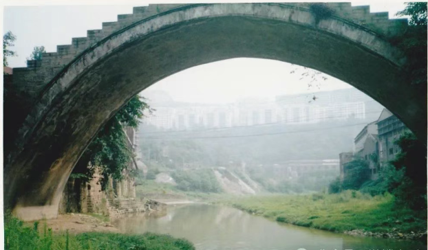
Lu’an Bridge was located over the Zhuxi Stream, just outside Tiande Gate in the northwestern part of the old city.
In the 10th year of the Tongzhi reign during the Qing Dynasty (1871), local resident Yu Maolin donated 5,000 silver dollars entirely on his own to fund its construction.
The length, width, and overall design of the bridge closely followed that of the nearby Wanzhou Bridge.
Following the founding of the People’s Republic of China, the bridge underwent multiple rounds of repair and reinforcement. Until the time of relocation, it remained in good structural condition.
Lu’an Bridge served as a vital pedestrian passage for residents of Lujiajie neighborhood, workers from the municipal dyeing factory and the towel-and-bedsheet factory, as well as farmers from the Tiancheng area commuting into the city.
In 1988, the bridge was officially designated as a Municipal-Level Cultural Heritage Protection Site.
Rangdu Bridge was located downstream of Lu’an Bridge on the Zhuxi Stream.
It was constructed during the Daoguang period of the Qing Dynasty and was built as a flat stone masonry bridge.
Before the construction of Lu’an Bridge, Rangdu Bridge served as the only crossing point for local residents on both sides of the stream during the dry season months.
After the completion of Lu’an Bridge, Rangdu Bridge gradually lost its practical value and fell out of regular use.
Simama Bridge, also known as Sima Bridge, was located at the southeastern edge of the city, near the confluence of the Taiping Stream and the Yangtze River.
In the 10th year of the Tongzhi reign of the Qing Dynasty (1871), local resident Cheng Shanbao funded its construction through personal donation.
The bridge was originally built as a pedestrian crossing, with natural boulders serving as piers at both ends and an arched span in the middle.
After the founding of the People’s Republic of China, a riverside access road was built along the Yangtze River. This connected the bridge to the Panpan Stone Cargo Terminal via a vehicle ferry road, effectively converting the structure into a motor traffic bridge.
In 1982, the original stone slab bridge deck was rebuilt into a concrete surface. The bridge was widened from 4 meters to 9 meters, and extended in length from 20 meters to 30 meters.
When the Sipai Highway was completed and opened to traffic in 1989, the Simama Bridge became the third major road bridge within the urban area.
During the Republican Era, there had been a proposal to dam the river at this site to create an artificial lake, modeled after the scenic West Lake of Hangzhou. However, the project was never carried out.
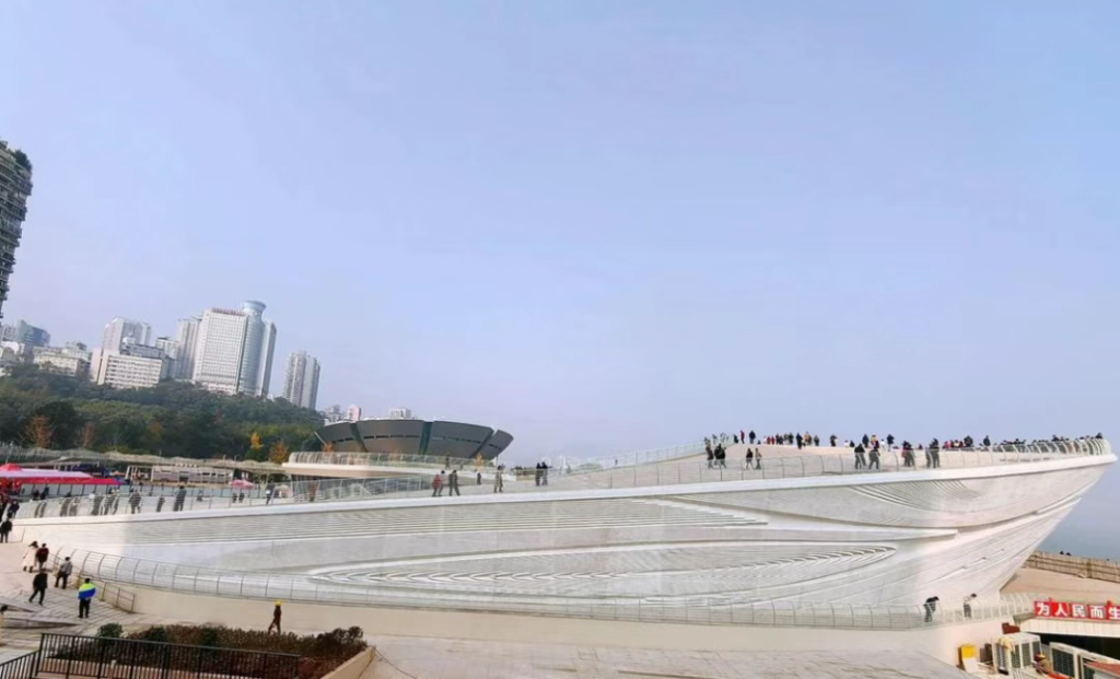
At the turn of the century, the area was designated as a submersion zone under the Three Gorges Project. As a result, the Taiping Stream riverbed was filled in, and a relocation plaza was constructed in its place.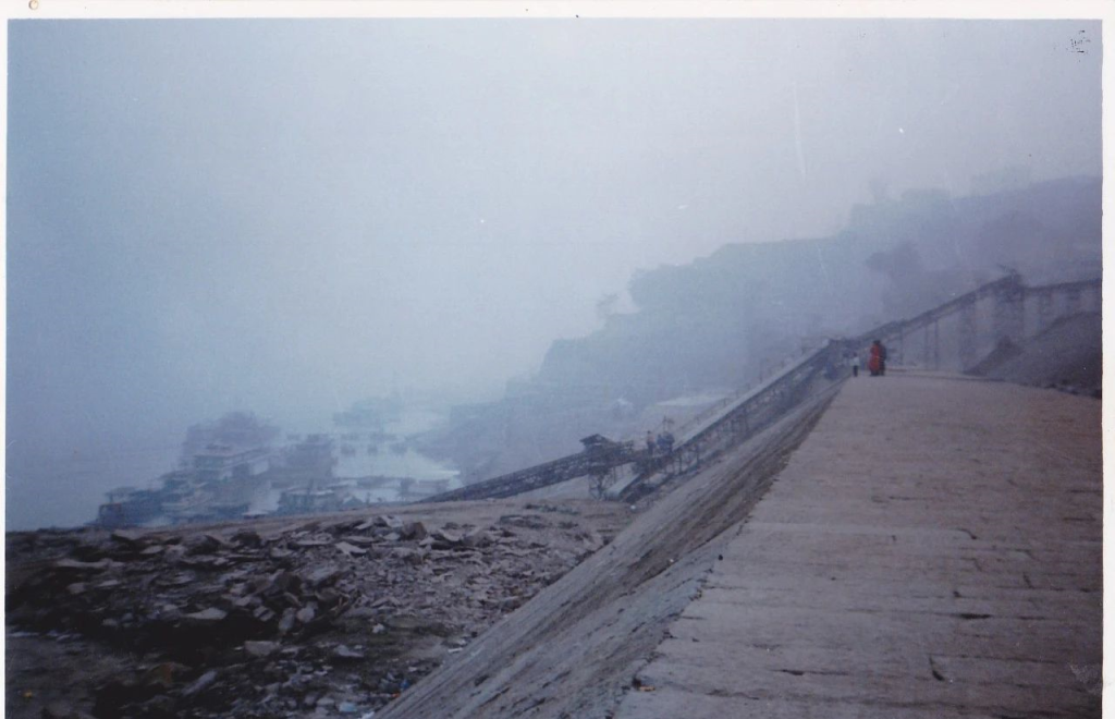
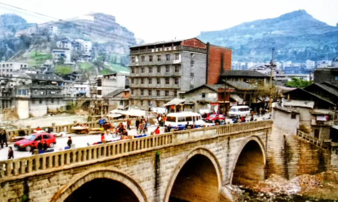
Wan’an Bridge, commonly referred to as “The Great Bridge,” was renamed “Anti-Imperialist Bridge” during the Cultural Revolution.
It spanned the lower reaches of the Zhuxi Stream and served as the primary thoroughfare connecting the eastern and western districts of the city.
In the 15th year of the Republic of China (1926), construction of the bridge was initiated under the direction of the Wanxian Municipal Trade Port Bureau. The project was designed and executed by engineers Ren Haixian, Kuang Hongru, and Diao Guoxian from the Bureau’s Engineering Division. The bridge was built by renowned construction master Chen Yufa.
Completed in the 18th year of the Republic (1929), the project cost a total of 422,500 silver dollars.
The bridge was a large-scale stone-arch reinforced concrete structure, measuring 100 meters in length, approximately 21 meters in width, and 40 meters in height. It consisted of three spans: the central arch spanned 36 meters, while the two side arches spanned 20 meters each. A 16-meter-high abutment embankment was constructed at the base to protect the bridge.
The roadway on the bridge measured 13.5 meters wide, flanked by 3.5-meter pedestrian walkways on both sides, each equipped with railings.
The bridge underwent multiple phases of repair and reinforcement both before and after the founding of the People’s Republic of China. As of the early 1990s, it remained the city’s primary highway bridge.
Fuxing Bridge, also known as “Xin Bridge” (New Bridge), was renamed “Red Star Bridge” during the Cultural Revolution. It was located in the northwest part of the city, spanning the Zhuxi Stream.
Construction began in the 17th year of the Republic of China (1928) and was completed the following year, at a cost of 39,600 silver dollars. The bridge was a flat stone-arch structure, approximately 55 meters in length, 12 meters in width, and 15 meters in height.
It featured three arches: the central arch spanned approximately 12 meters, and the two side arches each spanned about 13 meters. The original bridge deck was paved with stone slabs, but in 1979 it was resurfaced with asphalt, and the carriageway was widened to about 10 meters.
Fuxing Bridge became another major thoroughfare linking the eastern and western districts and served as the city’s second public road bridge.
Liji Bridge was located at the mouth of Zhifang Stream in the northern part of the city. It was originally constructed in the 15th year of the Qianlong reign during the Qing Dynasty (1750), funded by local residents Tan Qixue, Tan Qixing, and others.
This was a single-span stone-arch bridge, measuring 12 meters in length, 7 meters in width, and 7.5 meters in height. One end of the bridge connected to Minzhu Road, while the other led to industrial roads servicing the local glass and lightbulb factories. The bridge frequently handled heavy traffic from freight vehicles.
Huilng Bridge was located on Zhifang Stream in the Jiaochang Gully area north of the city. It was rebuilt in the 16th year of the Republic of China (1927), with funding raised by local resident Cui Bingzhi.
The bridge was a flat structure built on stone piers, measuring 12 meters in length, 2.5 meters in width, and 3 meters in height. It was suitable for rickshaws and small motor vehicles.